CONTACT
US
SLS is centrally located in Truckee, which allows us to respond immediately to time-sensitive construction staking requests and Land Surveys for realty transactions throughout the Tahoe Basin and the Truckee area. Contact us with your land surveying needs today.
OFFICE LOCATION
CALIFORNIA
10049 Martis Valley Road Unit A
Truckee, CA 96161
530.550.8006 ( p )
530.550.8016 ( f )

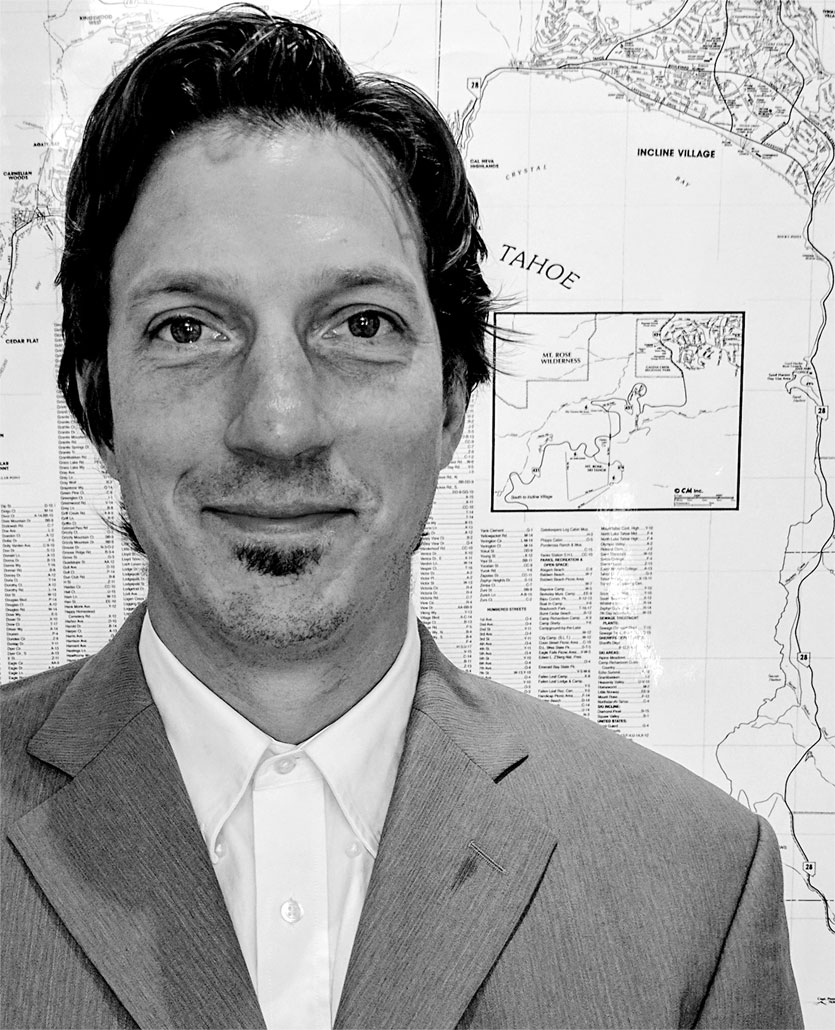
J. Kurt Margraf, P.L.S.
Professional Land Surveyor, California—8628
B.S. – Geomatics Engineering – CSU Fresno
(o) 530.550.8006
(e) kmargraf@sagelandsurvey.com
Kurt has been involved in the surveying profession with field, office and educational experiences for over 17 years. The majority of his surveying experience has been in the Truckee-Tahoe area working with Sage Land Surveying Inc.(SLS). He has been the project surveyor on numerous projects with public agencies, most recently being the Glenshire Drive Bike Lane (Phase 1) where SLS was responsible for the Right-of-Way resolution and staking, and base mapping. Kurt has been in charge of coordinating with agencies, construction managers, general contractors, and engineers for public, commercial, and residential clients in his twelve years with SLS. His projects have included Right-of-Way and boundary resolution, utility locations, legal descriptions, and topographic surveys for road construction and improvements, trails, pipeline installation and removal, subdivisions, commercial and residential sites. His office responsibilities include preparing record of surveys, legal descriptions, record and document analysis and research, final document preparation and mapping. Kurt has field experiences in construction staking, boundary, topographic, control, and ALTA surveys, using both GPS and Robotic Total Stations.


