RECENT
PROJECTS

Glenshire and Dorchester Drive
Widening

2016 / Ongoing

truckee_tahoe_glenshire_dorchester_drive_widening_route_survey_strip_togography_right_of_way_staking_road_improvements_lumos_associates_project_sage_land_surveying

The Town of Truckee plan to reconstruct and widen Glenshire Drive (Truckee River Legacy Trail to Dorchester Drive) and Dorchester Drive (Glenshire Drive to Waterloo Circle). This project also includes a left-turn lane on Glenshire Drive at Dorchester Drive. Project will also include a pedestrian crossing of Glenshire Drive in the vicinity of the Legacy Trail Trailhead.

Sage Land Surveying was retained by the Town of Truckee and Lumos & Assoc. to perform Right of Way Resolution, Base Mapping, Right of Way station staking and Corridor Topographic Mapping for design purposes.

Construction began in 2014 and is ongoing.

truckee_tahoe_glenshire_dorchester_drive_widening_pedestrian_bicycle_improvement_route_aerial_project_sage_land_surveying

EXHIBIT 1

Glenshire Drive / Dorchester Drive Pedestrian & Bicycle Improvement Layout

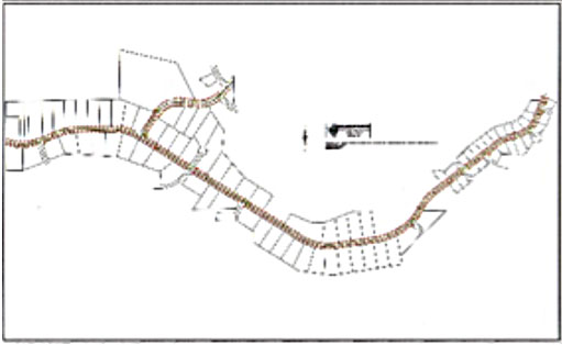
truckee_tahoe_glenshire_dorchester_drive_road_widening_route_topographic_mapping_project_sage_land_surveying

Topographic Mapping

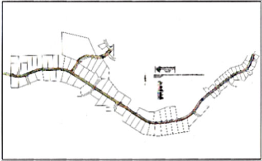
truckee_tahoe_glenshire_dorchester_drive_road_widening_route_base_mapping_right_of_way_stationing_project_sage_land_surveying

Base Mapping
and Right of Way Stationing

sage_land_surveying_sls_survey_surveyor_construction_planning_consulting_parcel_easement_elevation_boundary_topographic_property_boundary_mapping_staking_scanning_truckee_tahoe