PROFESSIONAL
SERVICES
CONSULTING & PROJECT PLANNING
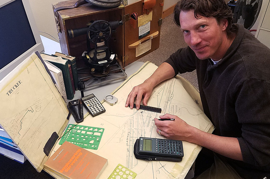
Sage Land Surveying has years of experience in professional land surveying, consulting with you to help complete your project. Our professional services provide all the necessary research, drafting and mapping to facilitate in the submittal of your various projects. We can also help you process your project through the proper agencies for approval (state/local government and homeowners associations, etc.
GEODETIC, BOUNDARY, CONTROL, TOPOGRAPHIC &
CONSTRUCTION SURVEYS
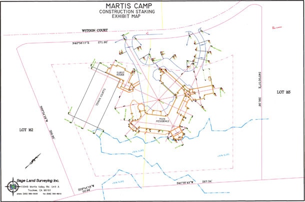
Using state-of-the-art GPS equipment, total stations, levels and terrestrial scanners, Sage Land Surveying handles all field data capture and staking required by your project. SLS is centrally located in Truckee, which allows us to respond immediately to time-sensitive construction staking requests throughout the Tahoe Basin and the Truckee area.
Having decades of experience in these areas and working in conjunction with architects, engineers and contractors, Sage Land Surveying products are accurate and complete. We tailor our professional services to the specific needs of our clients to be most cost-effective and time efficient. Our vast experience in a snow/mountain region allows SLS to provide winter surveys in the Truckee and Tahoe areas.
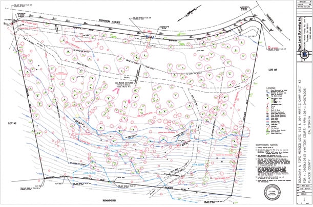
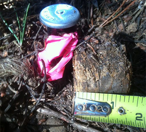
SLS provides clients with a final boundary resolution and its location on the map for each boundary survey and/or topographic survey. The boundary information displays setback restrictions and existing easements. Final boundary also includes flagging and posting of the property corners for onsite viewing. SLS will also set any missing property corners and file a Corner Record with the county if necessary. Topographic surveys needed for design purposes show at minimum: existing structures, elevation contours, utilities, vegetation and any other significant onsite features.
DOCUMENT & MAP PREPARATION
Sage Land Surveying prepares all documents necessary for your survey project such as Record of Surveys, Tentative Maps, Parcel Maps, Subdivision Maps, Townhouse / Condominium Maps, Topographic Maps, Boundary Maps, Exhibit Maps, Lot line adjustment and legal descriptions. SLS has submitted these forms of documentation through TRPA (Lake Tahoe Basin), Town of Truckee, City of Reno, Nevada County, Placer County, Washoe County, Sierra County and Plumas County.
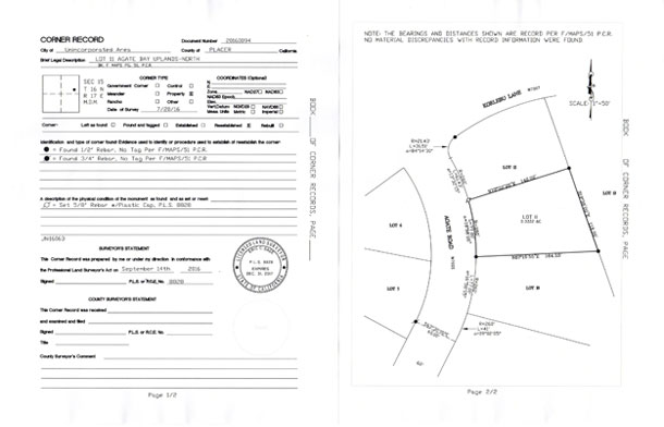
1. Corner Record – Boundary Surveys
Corner Records are a simplified form to show the change of character in a monument set by a licensed land surveyor. This corner record form can be used when there is sufficient record information to retrace the original boundary lines of a property. The Professional Land Surveyors Act (Business and Professions Code, Division 3, Chapter 15, Sections 8700-8805), defines the practice of surveying as a profession and in particular the requirements of when corner record is to be filed with the county surveyor in which the field survey was made.
All corner records made by Sage Land Surveying is required by Section 9752(d) and is discovered in the course of performing a boundary survey requested by a client.
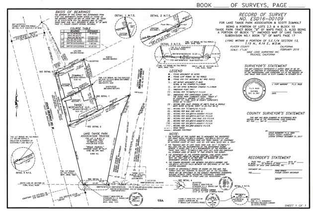
2. Record of Survey
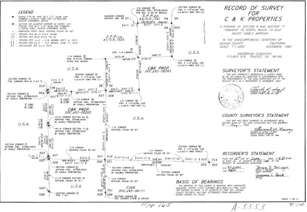
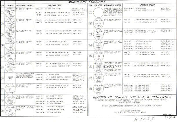
The record of survey is a map recorded with the appurtenant county to show a surveyor’s opinion as to the boundary and property lines of a particular parcel of land that is not shown on a recorded map or contains material discrepancies with record information. The Professional Land Surveyors Act (Business and Professions Code, Division 3, Chapter 15, Sections 8700-8805), defines the practice of surveying as a profession and in particular the requirements of a record of survey. Specifically, Section 8762 of the PLS ACT defines when a licensed land surveyor is required to file a record of survey with the county surveyor in which the field survey was made. All record of surveys made by Sage Land Surveying are required when one of the Section 9762(b) numbers 1-5 are discovered in the course of performing a boundary survey requested by a client.
All corner records made by Sage Land Surveying is required by Section 9752(d) and is discovered in the course of performing a boundary survey requested by a client.
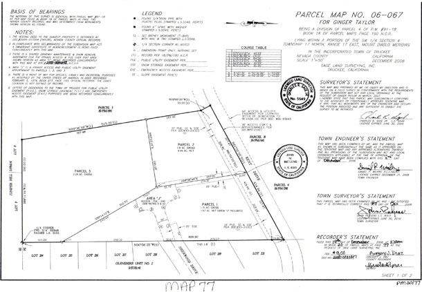
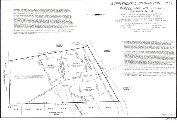
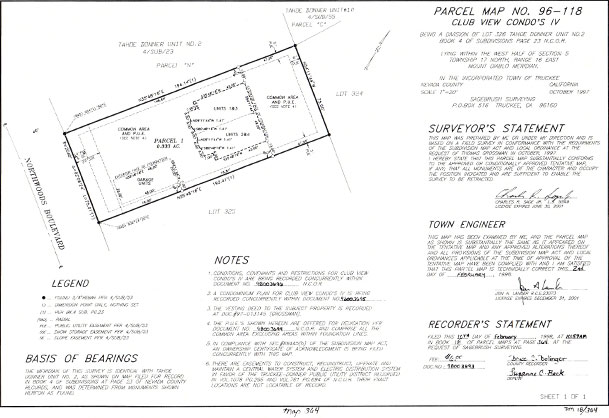
3. Parcel Map
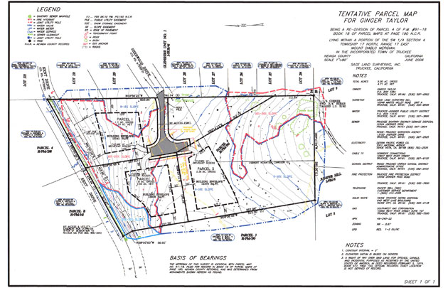
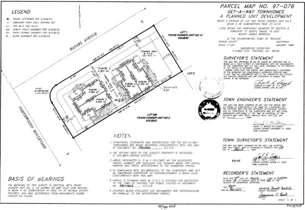
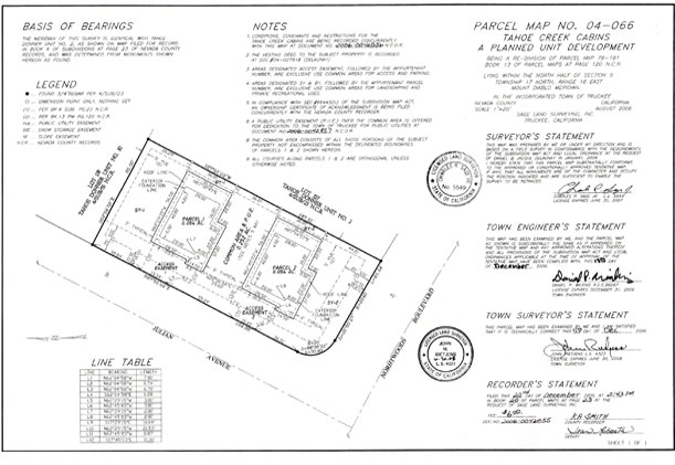
A Parcel Map is typically a recorded map of a subdivision where four or fewer parcels are created simultaneously allowing one remainder if desired. A Parcel Map is submitted to the County Surveyor’s Office for recordation and may only be made after approval of the Tentative Map. The Board of Supervisors, Planning Commission, or Zoning Administrator may grant approval of a Tentative Map. Parcel Map preparation is made by a Licensed Land Surveyor or Registered Civil Engineer authorized to practice Land Surveying. Parcel Map requirements are defined in the Subdivision Map Act.
Tentative Parcel Map
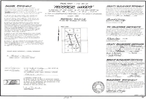
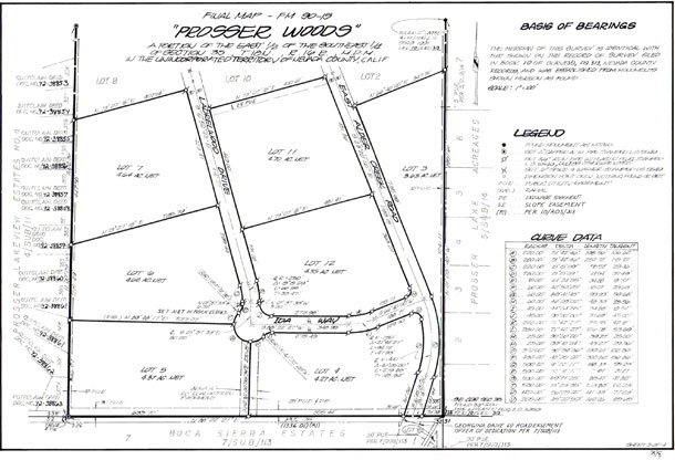
4. Subdivision / Final Map
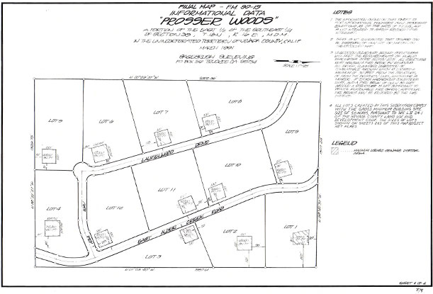
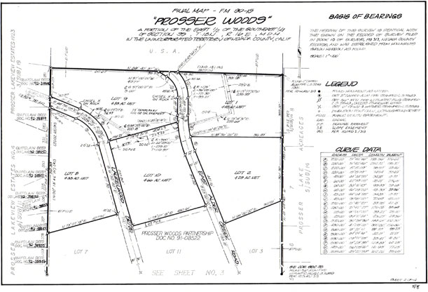
A Subdivision Map is typically a recorded map of a subdivision where more than four parcels are created simultaneously. A Subdivision Map is submitted to the County Surveyor’s Office for recordation and may only be made after approval of the Tentative Map. The Board of Supervisors, Planning Commission, or Zoning Administrator may grant approval of a Tentative Map. Subdivision Map preparation is made by a Licensed Land Surveyor or Registered Civil Engineer authorized to practice Land Surveying. Subdivision Map requirements are defined in the Subdivision Map Act.
5. Townhouse / Condominium Map
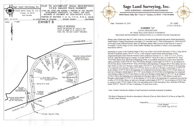
6. Legal Descriptions
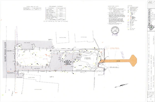
• Impervious Coverage Topographic Surveys
Due to the eco sensitive areas around the Tahoe Basin, Sage Land Surveying can provide Impervious Coverage Topographic surveys that will delineate all the existing coverages on your land. TRPA and Truckee require these surveys for many lots around water and in sensitive eco systems.
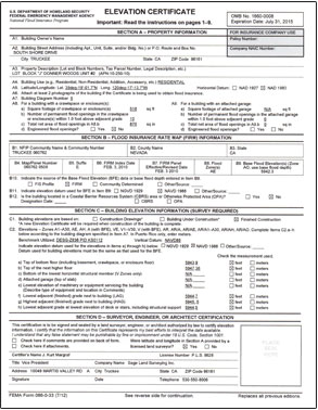
• Elevation Certificates
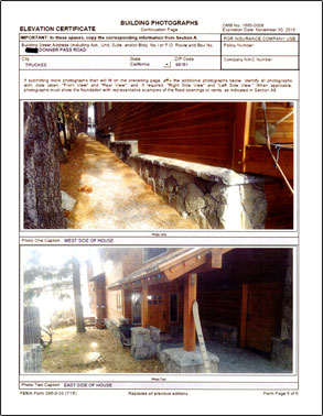
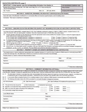
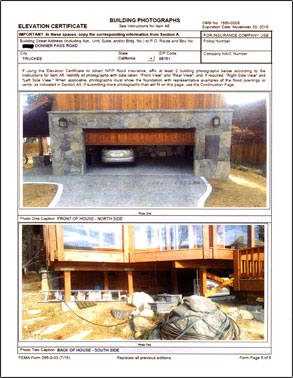
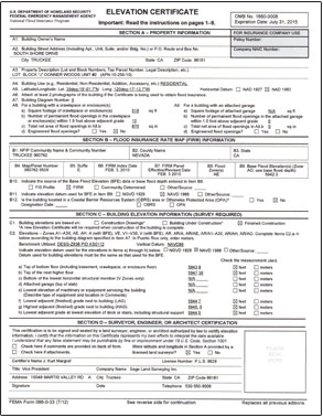
Sage Land Surveying can provide you with FEMA’s flood elevation certificates for flood insurance purposes. Click here to get the FEMA – Flood Elevation Certificate.
• Foundation Certificates
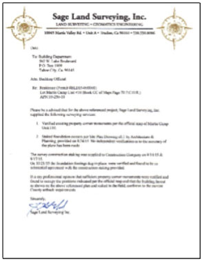
Sage Land Surveying will verify that your foundations are within your building setbacks to provide certification to any agency that requires approval.
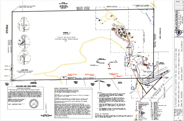
• ALTA / NSPS Surveys
What is an ALTA survey? To download the ALTA NSPS minimum standards, click here.
Members of the American Land Title Association® (ALTA®) have specific needs, unique to title insurance matters, when asked to insure title to land without exception as to the many matters which might be discoverable from survey and inspection, and which are not evidenced by the public records.
For a survey of real property, and the plat, map or record of such survey, to be acceptable to a title insurance company for the purpose of insuring title to said real property free and clear of survey matters (except those matters disclosed by the survey and indicated on the plat or map), certain specific and pertinent information must be presented for the distinct and clear understanding between the insured, the client (if different from the insured), the title insurance company (insurer), the lender, and the surveyor professionally responsible for the survey.
In order to meet such needs, clients, insurers, insureds, and lenders are entitled to rely on surveyors to conduct surveys and prepare associated plats or maps that are of a professional quality and appropriately uniform, complete, and accurate. To that end, and in the interests of the general public, the surveying profession, title insurers, and abstracters, the ALTA and the NSPS jointly promulgate the within details and criteria setting forth a minimum standard of performance for ALTA/NSPS Land Title Surveys.

