RECENT
PROJECTS

Town of Truckee
Trout Creek Restoration

2013 – 2016 / Completed

truckee_trout_creek_tahoe_restoration_record_of_topographic_survey_parcel_map_base_mapping_project_sage_land_surveying

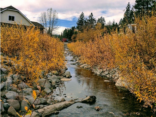
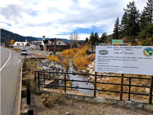
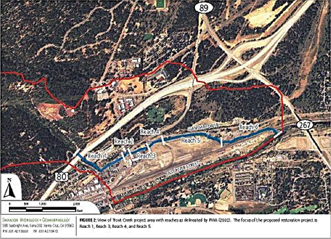
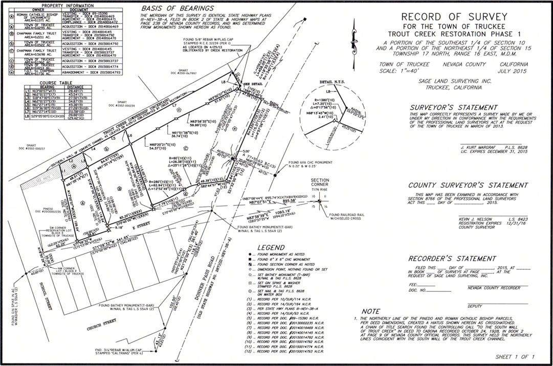
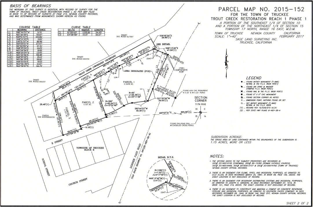
The Town of Truckee retained Sage Land Surveying Inc. to provide Topographic Mapping for Boundary Resolution, Right of Way Acquisition, Relinquishment, Record of Survey, and a Parcel Map for the Trout Creek Restoration Project; which would restore Trout Creek from its I-80 undercrossing east of Bridge Street, under Donner Pass Road, past the Lumber Yard, through the Railyard Development area, and to the Union Pacific Railroad right of way line, which is immediately north of the Truckee River.

Construction completed 2016.

truckee_trout_creek_tahoe_restoration_record_of_topographic_survey_parcel_map_base_mapping_project_sage_land_surveying

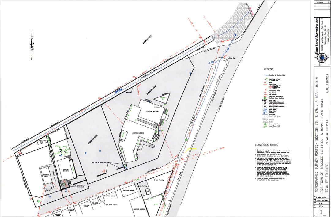
Base Mapping / Topographic Survey

truckee_trout_creek_tahoe_restoration_record_of_topographic_survey_parcel_map_base_mapping_project_sage_land_surveying

Record of Survey

truckee_trout_creek_tahoe_restoration_record_of_topographic_survey_parcel_map_base_mapping_project_sage_land_surveying

Parcel Map

sage_land_surveying_sls_survey_surveyor_construction_planning_consulting_parcel_easement_elevation_boundary_topographic_property_boundary_mapping_staking_scanning_truckee_tahoe